

GeoServer
open-source geospatial data server, written in Java
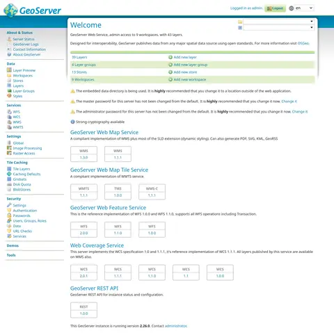
Image: Wikimedia Commons · About this image

In computing, GeoServer is an open-source server written in Java that allows users to share, process and edit geospatial data. Designed for interoperability, it publishes data from any major spatial data source using open standards. GeoServer has evolved to become an easy method of connecting existing information to virtual globes such as Google Earth and NASA World Wind as well as to web-based maps such as OpenLayers, Leaflet, Google Maps and Bing Maps. GeoServer functions as the reference implementation of the Open Geospatial Consortium Web Feature Service standard, and also implements the Web Map Service, Web Coverage Service and Web Processing Service specifications.
GeoServer’s social media accounts
Social

Web
1 external identifier


Something wrong with this entry? Report it · How corrections work
Last updated · Handles last checked · How we check