

QGIS
open source desktop geographic information system software
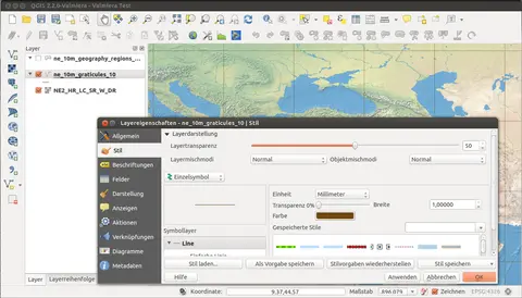
Image: Wikimedia Commons · About this image

QGIS is a free and open-source geographic information system (GIS) software. QGIS supports Linux, macOS, and Windows. It supports viewing, editing, printing, and analysis of geospatial data in a range of data formats. Its name comes from an abbreviation of its previous name, Quantum GIS.
QGIS’s social media accounts
Social

Web
1 external identifier


Something wrong with this entry? Report it · How corrections work
Last updated · Handles last checked · How we check